
OpenStreetMap Trips
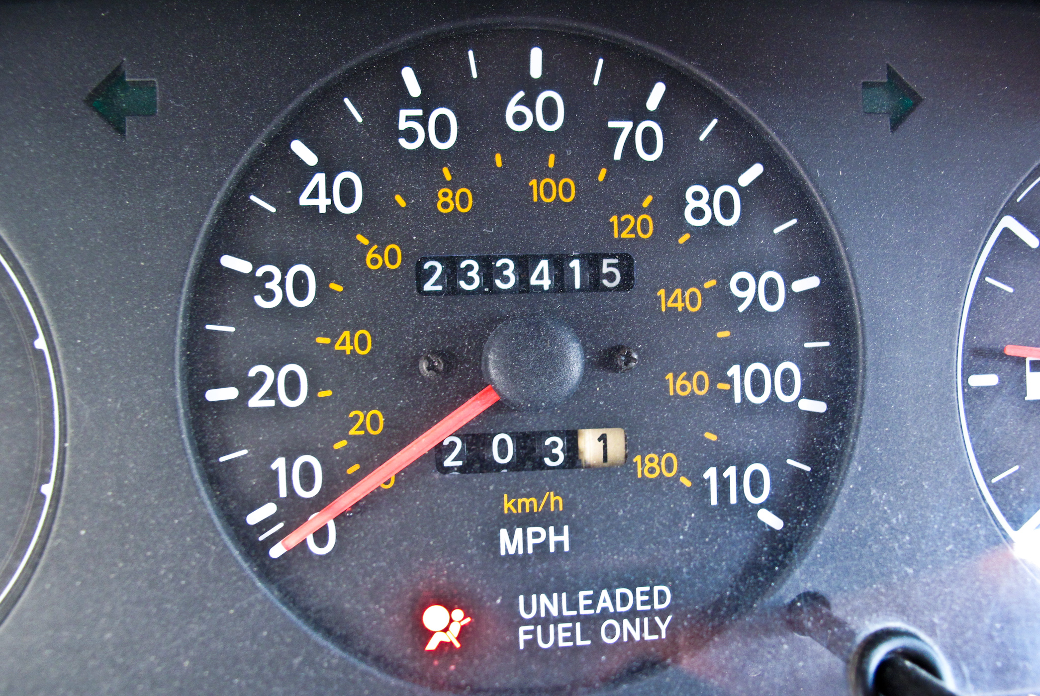
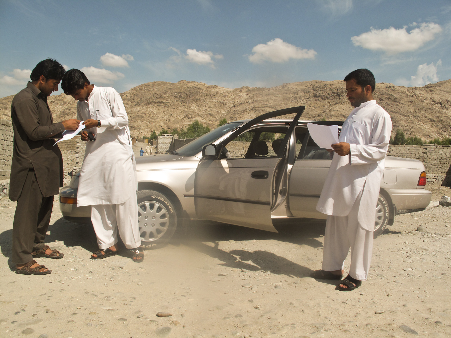
As I said in my earlier blog, our company (J Synergy Tech Development) is working on a mapping project to edit Nangarhar Province in the eastern Afghanistan on OpenStreetMap. There are a few different ways to edit on OSM: You can edit by having local knowledge of the area you are editing. You can also edit by recording gps tracks with a gps or a smart phone and then uploading those tracks on OSM and edit all the places you have been to with your device. This way you can mark places with names and take geotag photos, etc. Another way to edit on OSM is to draw a map of the places you are visiting and then sit at your desk and edit from your home. Our team uses a combination of all these methods. We are a group of five editors that usually go on long trips to the far away districts of Nangarhar. We have a TOYOTA Corolla with a mileage of 233415 that was dumped in Afghanistan after it was used in the U.S. It still has ‘THE LONE STAR STATE’ license plate on it.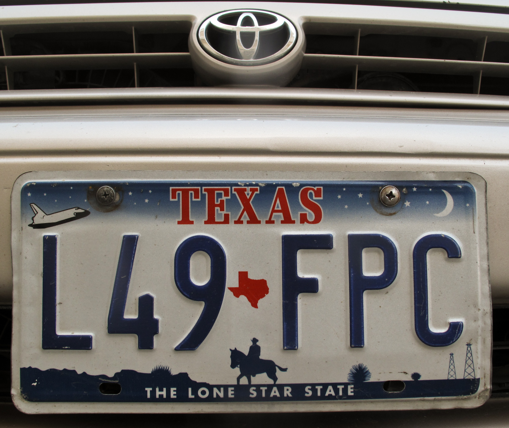
The day before yesterday, we went to Behsood, a district that is not very big and it is close to Jalalabad city. We already knew some about the structure of its main bazaar, its roads and streets and public services buildings but we still had a lot to see and map: any new schools, clinics, or other public places built. Usually, when we go to a far away district we go through our contacts to see if any of us has friends or relatives in the area. We always find hospitable friends that will host us for however long we want. We take some food with us to our host family for all of us to make sure that they have enough to serve us. On this particular trip, we did visit some friends but we did not have to take any food: a) we went early in the morning and finished in one day. Behsood is very close to Jalalabad so we came back home for the night. b) We were all fasting as it is the month of Ramadan here. In Afghanistan, to avoid any suspicion you want to finish everything in one trip, if possible. Two days is enough time for us to drive around on the main roads of a district, get a sense of where everything is and get some tracks of the key locations. Some of us walk with their gps trackers on so we can cover as much area as possible. We also draw a map of primary roads and other key places on our drawing pads. 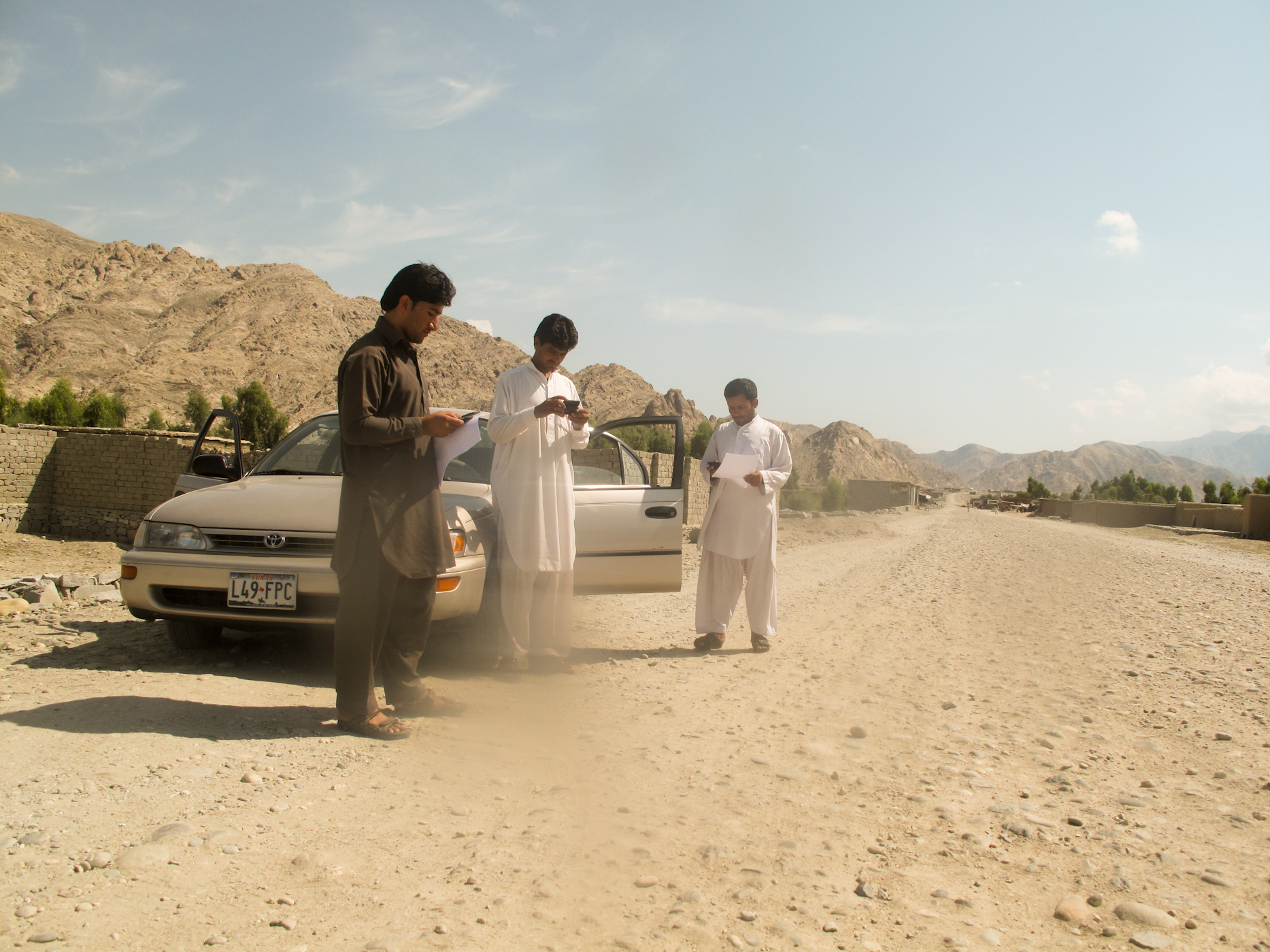

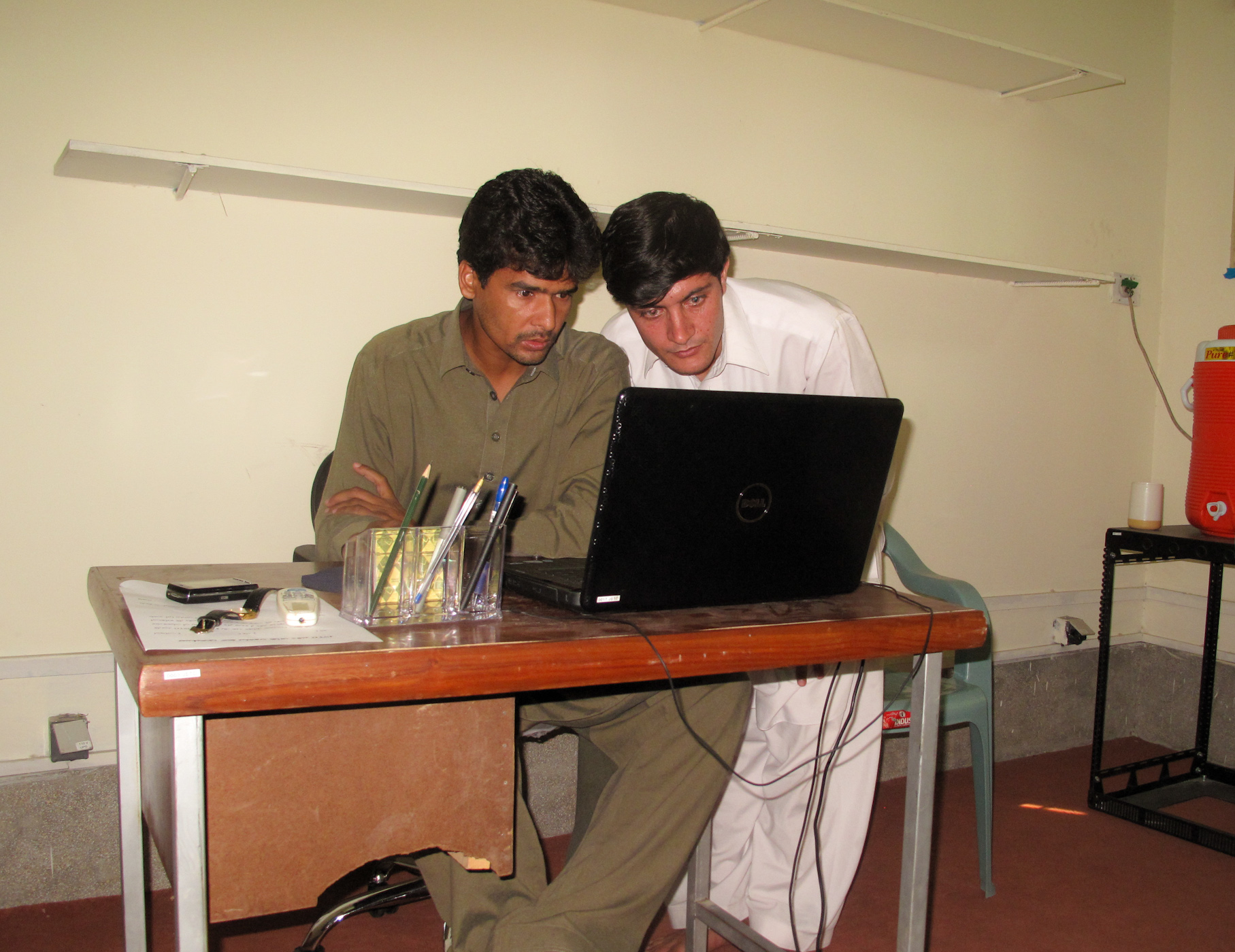
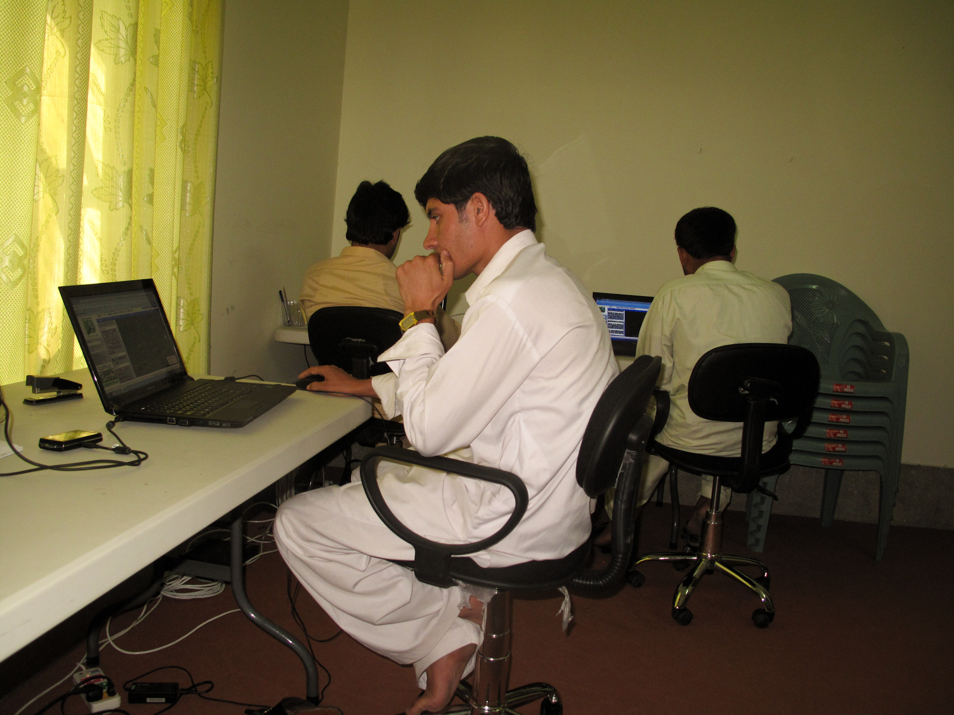
After we finish recording tracks of all the main roads and key areas, we come back to Jalalabad and start editing on OpenStreetMap. We put all the collected data together before we start editing. We usually work for a couple of weeks on each small district before we go to another. There are 22 districts in Nangarhar and we will be working on OSM to edit as many districts in the next five months as possible. Next week we are planning to go and map Surkhrod District. It also a district that is close to the city but it is bigger. By the end of 2011, we will have a very detailed map of our province. We will hopefully start editing another province after Nangarhar. 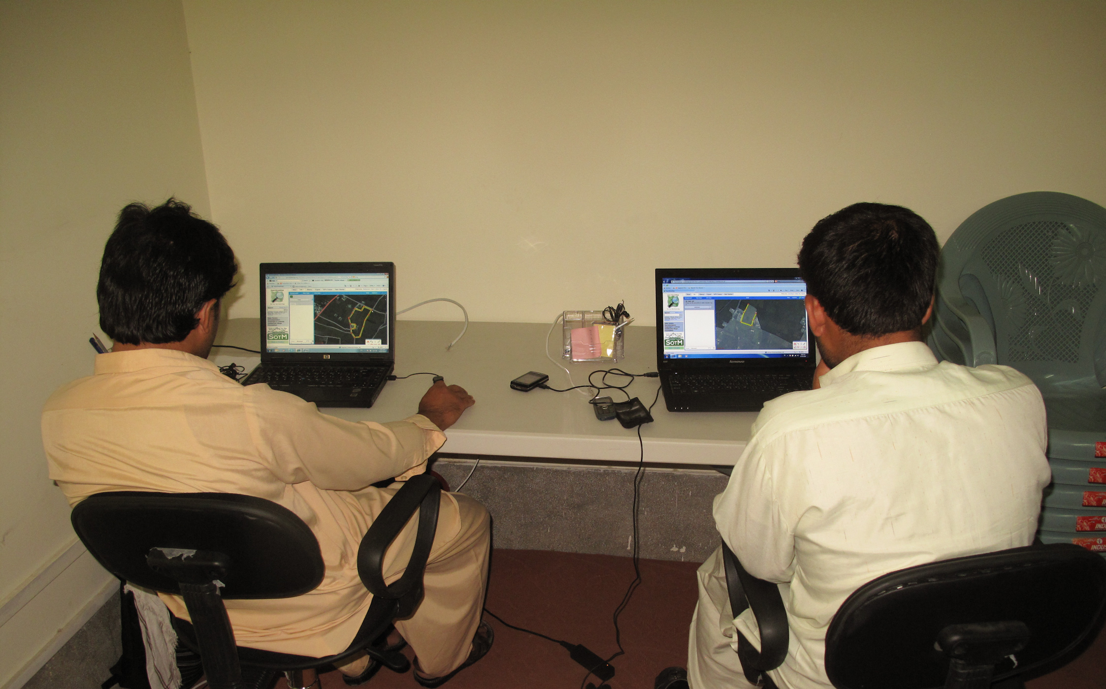
In the photo below is Noor Ahmadi, our network administrator and he makes that our Internet is always working as we edit the map of our city on OSM online. 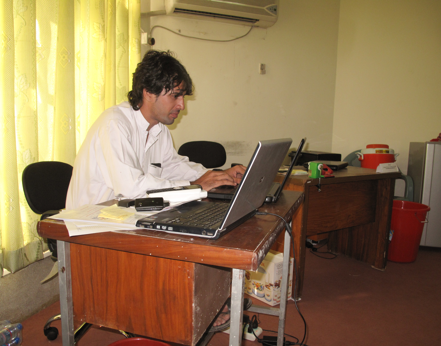
Rahmat Sadat is our administrative assistant and he always makes sure that everything is working smoothly and everyone is working on their planned tasks.
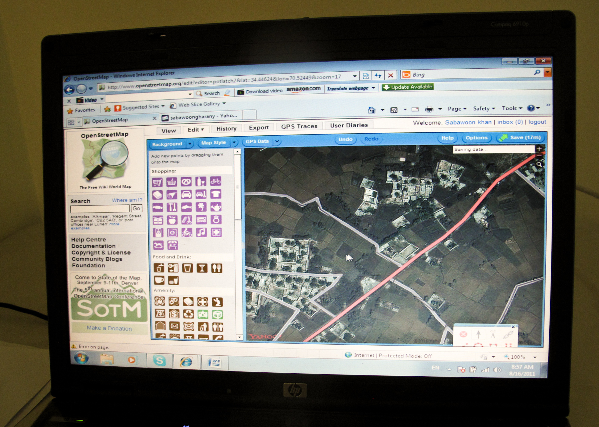
The reason why it is important to record tracks and gps points is that the imagery on OSM is usually old and it does not have places that have been built recently. There is one problem in our project: None of the gpx files that we record with our Sony Ericsson smart phones view on OSM. Right now, we convert those gpx files to KMZ and open them on Google Earth. We look at the Google Earth and edit OSM which is a much harder alternative. If you/any of your friends can help us troubleshoot the gpx viewing issues, please leave a comment.